Egypt: Map/Geography

Egypt is one of the world´s oldest civilizations. For thousands of years, it has been the
playground of kings. Egypt has an area of 1,001,446 sq km and a population of
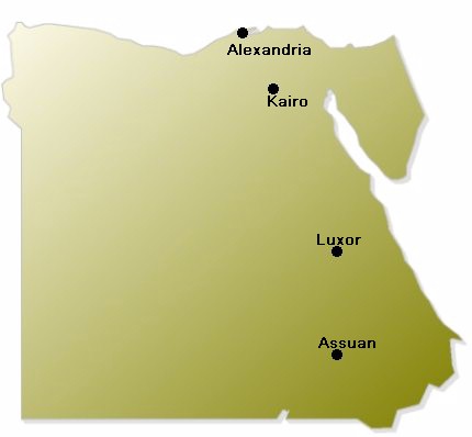
70 million people. The capital city of Egypt is Cairo with more than 16 Million inhabitants.
The biggest river of Egypt is the Nile which is indeed the worlds-biggest river with more
than 6,700 km length streching through Africa.
Egypt has the form of a square chunk ans lies at the northeast corner of Africa. Because
of the very hot climate, more than 95% of the country´s land is bare desert. So most of the people of Egypt
are forced to share 3% of the total land for living, the very fertile Nile valley
and the delta.
Egypt borders to Libya in the west, Sudan in the south, the Mediterranean Sea in the north
and the Red Sea and Israel in the east. The eastern region is called Sinai. There you can
find some mountains, too. Along the coastline there are countless white-sand beaches, some
of them developed as tourist resorts, but most of them are still pristine. The climate
in Egypt is hot and dry most of the year.
The official language in Egypt is Arabic, but English and French are understood
nearly everywhere in the country. The major religion is Muslim with 94% followed by the
Christian (Coptic) with 6%. Egypt is a Republic, the president´s name is Mohammed Husni
Mubarak.
The Egyptian history is tied to the Nile. The fertile banks of the river gave birth to
the worlds first nation state and a powerful civilisation that invented writing and erected the
first stone monuments. The river has been the source of economic, social, political
and religious life since the area was first settled 5000 years ago.

